Case study
National Transport Research Organisation
How NTRO cut client data delivery from three months to 48 hours
NTRO’s survey fleet captures data on roads across Australia. Getting that data to clients used to take up to three months. A new route planning, in-vehicle and client data platform now does it in as little as 48 hours.
NTRO’s iPAVE is a prime mover and trailer. As it drives, it measures how the pavement responds under load.
But it can’t take every road. Many stretches, including smaller suburban streets, restrict or prohibit heavy vehicles. Every survey route has to account for those rules, along with turn restrictions, speed limits and different regulations from state to state.
NTRO’s planners mapped these routes by hand, highlighting maps for survey crews. A single plan could take up to a week
Quick facts
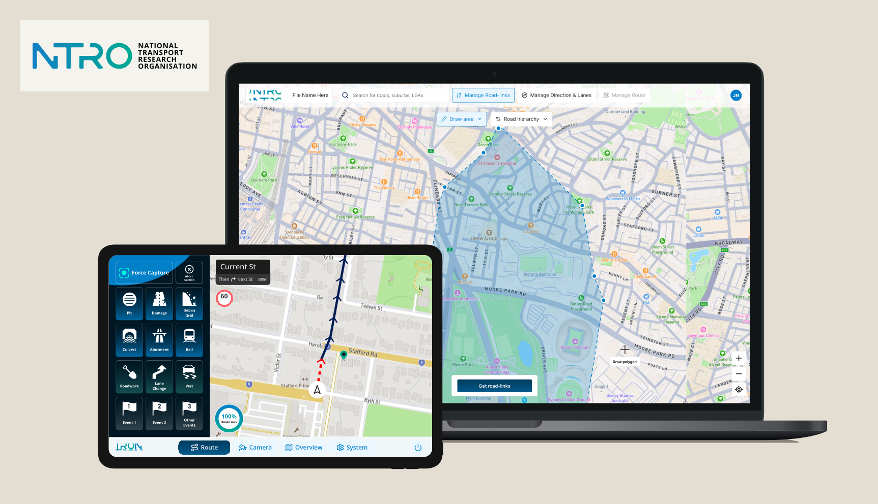
NTRO replaced its end-of-life road survey system with a route planning tool, an in-vehicle dashboard and a client data portal. Route planning dropped from up to a week to as little as six hours. Road data can now move from the field to clients in as little as 48 hours.
Client: The National Transport Research Organisation (NTRO).
Industry: Transport research and infrastructure.
Services: Custom software design and development, UX research, prototyping, and testing.
Why NTRO rebuilt its road survey system
NTRO is Australia’s leading independent transport research body. It works with government and industry across Australia, New Zealand and the Pacific on roads, rail, ports and airports. Local councils and transport agencies use its data to plan repairs and allocate funding.
Its survey fleet includes Intelligent Pavement Assessment Vehicles (iPAVE), Automatic Crack Detection vehicles (ACD) and Unsealed Road Vehicles (URV). Together, they capture road surface, structural and safety data.
The legacy system had reached end of life just as NTRO made data insights a major growth area. Route plans lived in static PDFs and disconnected spreadsheets. Drivers logged survey data manually. And once a survey was complete, clients could wait months to access and interpret the results.
Chief Technology Officer Russell Gallagher began developing a data reform strategy, now called SALUS. The goal was to connect the whole journey: process data on the vehicle, upload it directly to the cloud, store it in a database built to scale, and make visualisation part of the data flow.
“It was pretty clear that we just did not have the capacity in the existing NTRO team to actually support this development,” says Russell. “So there was a requirement to partner with somebody.”
Choosing a partner without a detailed spec
NTRO had a strategy document, but no detailed engineering statement of work. And with a project this complex, requirements were always going to change as the work progressed.
NTRO shortlisted partners against six criteria:
- Sovereign, onshore development
- AWS expertise
- Security and data management credentials
- Strong interface design capability
- Flexible delivery for evolving requirements
- A collaborative working relationship
Airteam brought a 100% Australian-based team, AWS expertise, ISO 27001 and ISO 9001 certification, and Good Design Australia Award-winning design experience. Just as importantly, the engagement could flex as both teams learned more.
Three tools, one connected system
The platform connects every stage of the process, from planning a survey to a council reading the results.
Route planning
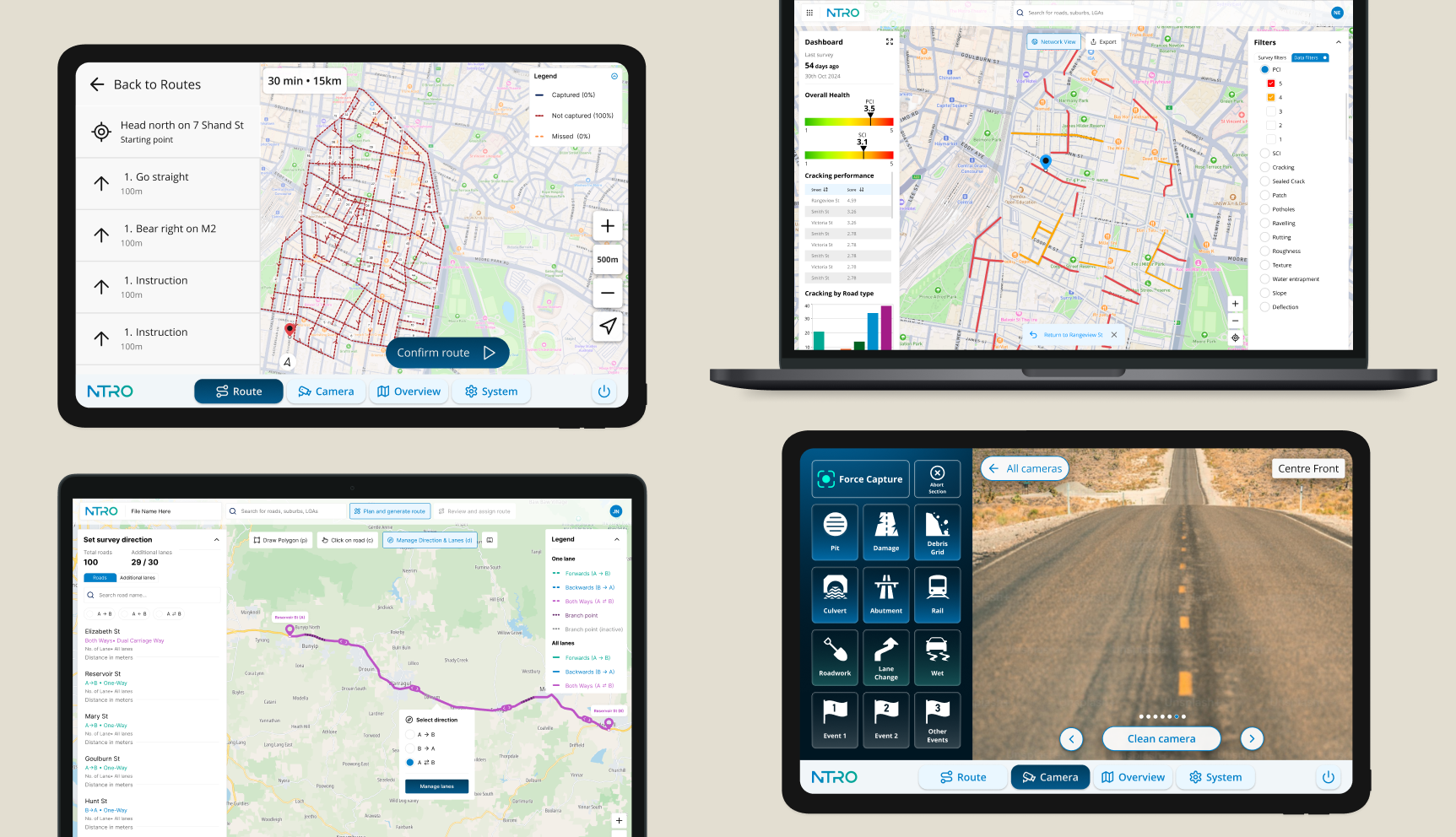
- A custom routing engine applies NTRO’s rules around turn restrictions, speed limits and state regulations. Planners can create and adjust routes on an interactive map, with the system generating multiple routes across different regions at once.
In the vehicle
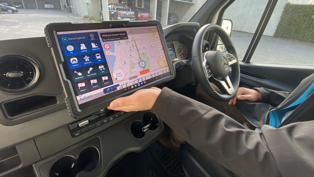
- A dashboard built for the Samsung tablets used in the cab gives drivers and operators navigation, real-time updates and data capture in one place. Crews can record route deviations, environmental conditions and obstacles as they happen, replacing manual logs.
Client data
- A visual dashboard gives councils and asset owners access to road metrics collected during surveys, helping them prioritise repairs and make funding decisions sooner.
Why road survey routing is a different problem
Most routing software solves for stops: reach a set of addresses in the shortest possible time. That’s the Travelling Salesman Problem.
Road surveying is different. The vehicle needs to travel along a specific set of road segments, not simply reach a collection of destinations.
Mathematicians call this the Rural Postman Problem: finding the shortest route that covers a required set of roads within a larger network (Orloff, 1974). Add heavy-vehicle restrictions, turn rules and different state regulations, and generic routing tools quickly reach their limits.
Airteam evaluated both approaches alongside Ant Colony Optimisation (Dorigo, Maniezzo & Colorni, 1996), and customised shortest-path algorithms such as Dijkstra’s (Dijkstra, 1959) to account for NTRO’s rules.
It’s an important distinction for anyone scoping a routing product: are you routing to points, or along roads? The answer changes both the problem you’re solving, and the technology needed to solve it.

Technical approach
- Routing: Graph theory, custom Dijkstra’s, TSP and
Rural Postman evaluation, Ant Colony Optimisation - Geospatial data: Python, GeoPandas, PostGIS
- In-vehicle app: React Native
- Cloud: Amazon Web Services (AWS)
Designing with the people in the cab
A mathematically efficient route isn’t much use if the software doesn’t work for the people actually driving it.
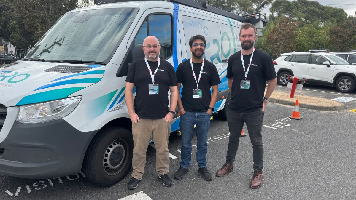
Airteam spent several months working with NTRO’s route planners, drivers, operators and data clients to understand how surveys worked in practice. We mapped day-to-day workflows, ran workshops with NTRO stakeholders and tested prototypes and physical mock-ups before development.
That feedback continued throughout the project, refining the interfaces against real survey conditions rather than assumptions made behind a desk.
Our engineers joined NTRO’s daily stand-ups too, working as part of the same delivery team.
From a week of planning to six hours
The biggest changes can be seen at either end of the process.
Route planning dropped from up to a week to as little as six hours.
Data delivery dropped from as long as three months to as little as 48 hours from field to client, giving asset owners earlier evidence for maintenance and investment decisions.
The new in-vehicle tools also replace manual records with data captured as surveys happen, while automated capture modes and controls designed around the cab reduce the amount of interaction required from crews in the field.
NTRO’s Road Safety Services work towards zero deaths and serious injuries on Australian roads. Getting accurate road data into the hands of councils and transport agencies sooner gives them earlier evidence to inform the maintenance and investment decisions behind that goal.
NTRO by the numbers
48 hrs
From field data to client insight
6 hrs
To plan a route, down from up to a week
3
Survey vehicle types supported
3
Connected tools across the platform